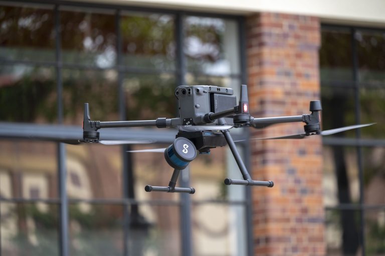
Hovermap Case Study Article: Hovermap provides drone autonomy and collision avoidance, easing the burden on operators and allowing them to fly closer to critical infrastructure and into confined spaces. A versatile SLAM-based mapper, Hovermap makes data collection quick, easy, and secure. In addition to drone use, its adaptable design enables it to be used for walking, vehicle, and backpack-mounted surveys. This adaptability has been a significant factor in Hovermap’s widespread acceptance. Combining precision engineering, SLAM algorithms, and robust drone autonomy operators can gather accurate LiDAR data for as-builts, surveys, and inspections above or below ground, indoors or outdoors. This case study was conducted by COPTRZ, the UK’s leading supplier of commercial drone technology, with the assistance of an independent surveyor in order to validate the accuracy of Emesent’s Hovermap SLAM-based LiDAR and Ground Control Point (GCP) Software. Solutions for a LiDAR scanner in construction, such as the Emesent Hovermap mobile mapping technology, can reduce, and in many cases eliminate, the interruptions that add time and expense to a construction project. Too frequently, companies have neither explored nor are aware of these alternatives. Instead, they continue doing things the same way they always have, so they endure:
• Time and resource intensive manual processes, such as traditional surveying and measuring instruments. • Employing professional surveyors, which is an added cost that frequently requires additional time and lacks the flexibility to capture the entire site, difficult-to-access areas, and confined spaces.
• Fewer collaboration skills, which impede innovation and communication with other members of your project management team.
• Less specific or exhaustive information for estimating materials and budgeting • Predetermined scanning intervals for monitoring construction
There is a reason why construction professionals look to LiDAR innovation for construction and data collection: it can speed up and reduce the cost of entire processes. Overall, this case study sought to determine the extent to which a SLAM-based LiDAR system can be utilised to acquire accurate point cloud data for engineering and mass data applications. The captured data would be compared to Total Station-surveyed points. The precision of ground control points (GCPs) and surveyed points was used to validate claims of accuracy. In addition to these parameters, the time required to capture data and the processing time were also evaluated. This experiment was conducted at a new 73-meter-long housing estate entrance, allowing the testers to scan a continuous stretch of road to test the precision of Hovermap. For evaluation purposes, the environment featured a variety of characteristics, including a rising gradient, street furniture, and utilities. All features, including the top and bottom of the curb, spot levels, GCPs, and utilities, were surveyed by an independent surveyor. A COPTRZ employee performed the Hovermap data set and the positioning of GCPs. Five reflective 500mm targets were used as GCPs. These were placed in a “Zig-Zag” pattern up the road to position the scan in an absolute coordinate system. This eliminated slips and SLAM (inertial measurement unit) drift. The Hovermap data was collected via a walked scan and processed with Emesent software in accordance with the company’s best practises. When the scan begins, the algorithm creates multiple ‘local’ maps and then attempts to align them with greater precision on the global map. The entire survey was conducted at a walking pace, and a closed loop was achieved. SLAM recognises unique characteristics from the outset. When merging ‘local’ and ‘global’ maps, greater alignment is achieved by closing the loop on the scan. Overall, the Emesent Hovermap ST proved to be easy to set up and user-friendly in operation. After configuring Hovermap on a mobile device and waiting 30 seconds for initialization, the data was gathered. The collection of data required 3 minutes and 40 seconds. The processing time, which included the importation of GCPs’ positions, was 13 minutes and 50 seconds. The .las extension was exported and data was imported the point cloud into Leica 3DR. After analysing the data, the standard deviation of 3DCQ shows 95% of all points checked are better than 20mm.